
AI-Powered Army Area Surveillance System
Intelligent threat detection & perimeter monitoring for defense operations.
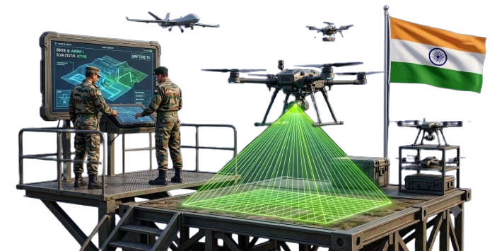
Our AI-driven drone surveillance system provides real-time threat detection, object identification, and GIS mapping for army camps, border areas, mountain regions, and forest zones. Capable of detecting weapons, explosives, suspicious movements, and intrusions with 96% accuracy, it ensures 24/7 situational awareness for defense personnel.
96.5%
Threat Detection Accuracy
100 km² per mission
Coverage Area
350 ms per frame
Processing Speed
< 3 seconds
Response Time
End-to-End Army Surveillance Pipeline
From aerial patrol to actionable intelligence, our system is engineered for mission-critical defense operations.
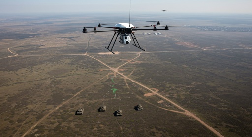
Aerial Patrol & Data Capture
Autonomous drone patrol with RGB, Thermal, and LiDAR sensors
AI Threat Detection Engine
Real-time object detection, weapon identification, and anomaly detection
GIS Alert & Command Center
Instant alerts with GPS coordinates and 3D terrain mapping
Key Platform Capabilities
Weapon & Explosive Detection
Identifies more than 150 types of weapons, mines, and explosive devices in real-time.
Perimeter Intrusion Alert
Detects unauthorized movement and intrusions around military installations.
Real-Time Threat Monitoring
Continuous surveillance with instant alerts for suspicious activities.
GIS & 3D Terrain Mapping
Project drone video onto 3D maps for effective decision-making.
Night Vision & All-Weather
Thermal and low-light imaging for 24/7 operations in any condition.
Autonomous Swarm Patrol
Coordinate multiple drones for comprehensive area coverage.
Core Technologies
Military-grade drone integration with advanced sensors for surveillance and threat detection.
Key Features
- DJI Matrice 350 RTK & custom defense platforms
- High-resolution RGB (20MP), Thermal (640x512)
- LiDAR for 3D terrain mapping & obstacle avoidance
Specifications
Sensor Suite
RGB + Thermal + LiDAR
Flight Time
55 minutes
Intelligent Surveillance Engine
Our software platform transforms aerial data into actionable defense intelligence with real-time threat analysis.
Threat Detection & Classification
AI-powered detection of weapons, explosives, personnel, and vehicles with 96.5% accuracy.
Real-Time GIS Mapping
Live 3D terrain mapping with GPS-tagged threats and automated geospatial alerts.
Automated Alert System
Instant notifications with threat type, location, and recommended action for rapid response.
Mission Archive & Analysis
Complete mission logs with threat history, patrol routes, and after-action reports.
Swarm Coordination Engine
Autonomous coordination of multiple drones for large-area surveillance and threat coverage.
Secure Command Center
Encrypted communication and secure data transmission for defense-grade operations.
Technical Specifications
Scientific & Industrial Applications
The Flow Master Advantage
Novel Technology & Features
Multi-Threat Detection
Detects 150+ threat types including weapons, explosives, and unauthorized personnel in real-time.
Real-Time 3D GIS Integration
Overlays drone video onto 3D terrain maps for complete situational awareness.
Autonomous Swarm Coordination
Coordinate multiple drones for comprehensive area coverage and threat neutralization.
Visual Reference

Drone-Based Camp Perimeter Surveillance
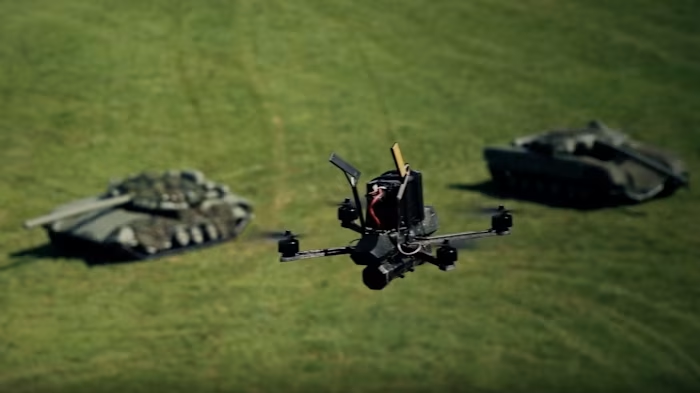
AI Threat Detection & GIS Mapping
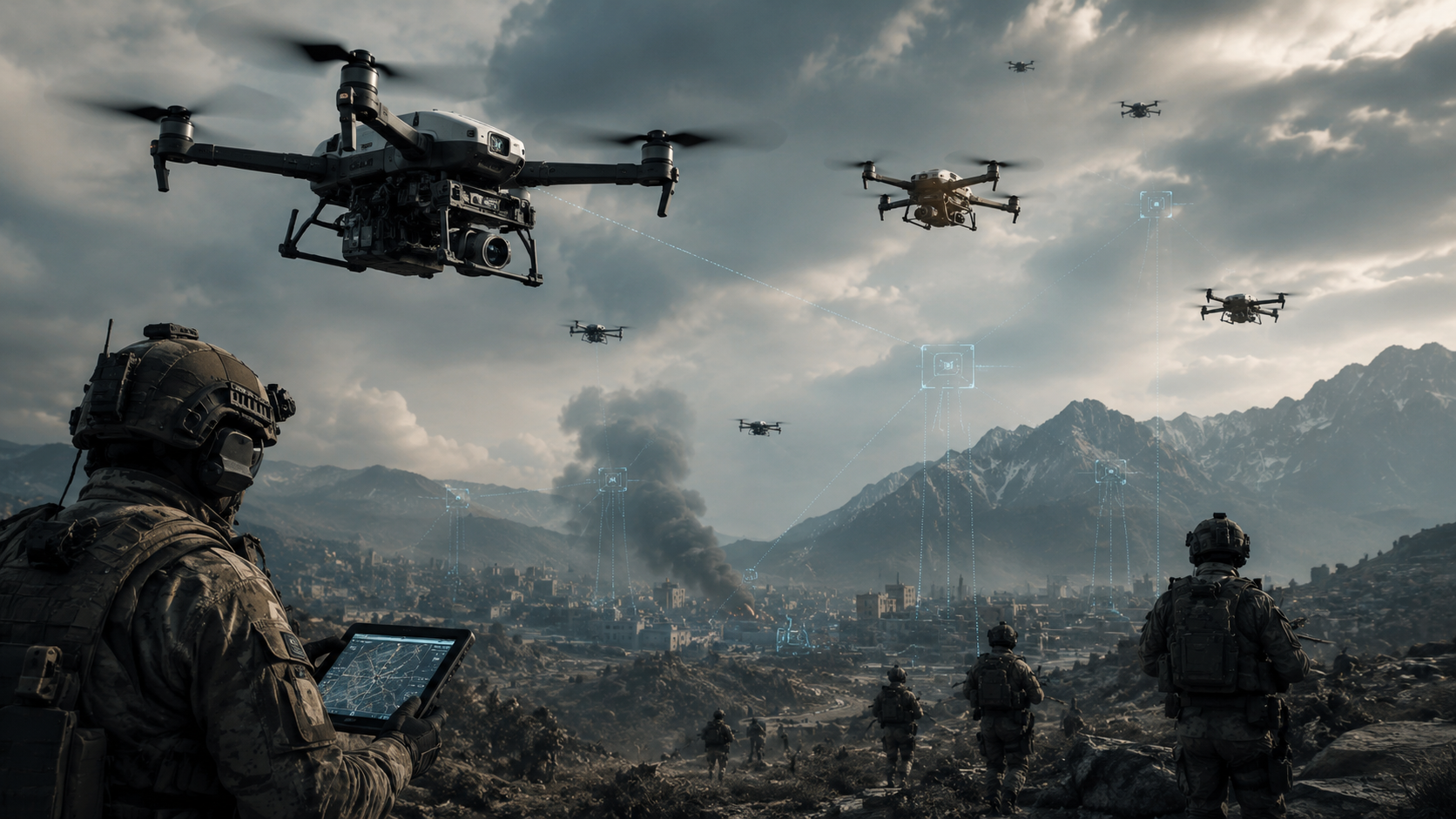
Autonomous Swarm Patrol Operations