
Prediction Accuracy
Response Time
Disaster Types
Coverage Area
Predict. Monitor. Respond.
Choose your focus — we bring AI-driven intelligence to disaster response and route optimization.
Disaster & Route Intelligence
From satellite monitoring to route optimization — our platform provides end-to-end resilience intelligence.
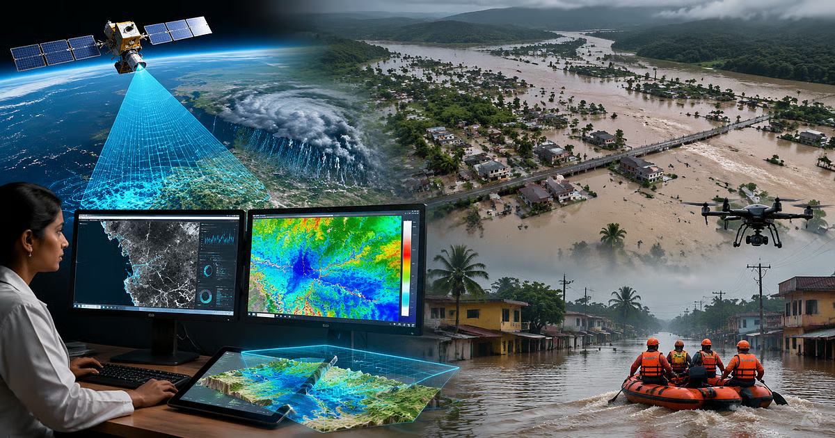
Real-Time Satellite Monitoring
Live satellite imagery (optical, SAR, thermal) with AI-powered change detection for any location.
GIS & 3D Terrain Mapping
Project drone and satellite data onto 3D maps for effective decision-making and disaster response.
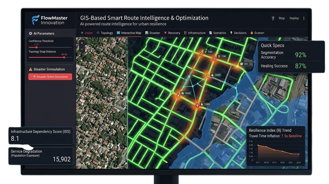
Criticality & Resilience Analytics
Betweenness centrality, gatekeeper node detection, and resilience scoring for urban networks.
Disaster Stress Simulation
Simulate floods, accidents, or road closures and analyze network efficiency loss and alternative routes.
Institutional Loss Analysis
Quantify economic losses, infrastructure damage, and disruption to government services and supply chains.
Global Disaster Intelligence
Access to world's address data and revolution data — search any area and get current satellite scenario.
Talk to
OUR ENGINEERS
We partner with individuals, researchers, and companies to turn bold ideas into reality.
We respond to every inquiry within 48 hours.