
GIS-Based Smart Route Intelligence & Optimization
AI-powered route intelligence & predictive optimization for urban resilience.
Our GIS-based Route Resilience System combines satellite imagery, deep learning segmentation, and graph-theoretic analysis to extract road networks, heal occlusions, identify critical junctions, and simulate disaster impacts. Built for urban planners, disaster response teams, and smart city initiatives, it provides real-time route optimization, bottleneck detection, and resilience scoring. The system transforms raw satellite data into an interactive decision-support dashboard for resilient urban mobility.
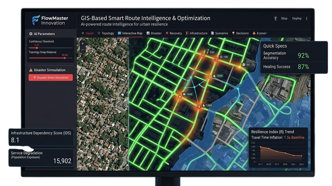
92%
Segmentation Accuracy
87%
Healing Success
< 30 sec
Response Time
5+
Disaster Types
End-to-End Route Resilience Pipeline
From satellite imagery to resilience analytics — our system processes geospatial data through AI and graph theory to deliver actionable urban mobility intelligence.
Satellite Data Ingestion
Acquire high-resolution optical, SAR, and multispectral imagery (Cartosat, Sentinel, Landsat).
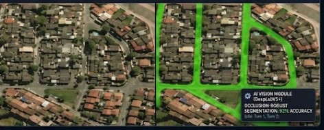
AI Road Segmentation
DeepLabV3+/SegFormer for occlusion-robust road extraction from satellite tiles.
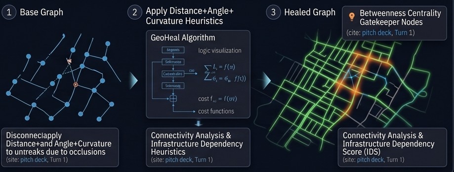
Skeletonization & Graph Building
Thinning masks to centerlines, extracting nodes and edges using sknw and NetworkX.
Topological Healing (GeoHeal)
Connecting broken road segments using distance, angular, and curvature heuristics.
Criticality Analysis
Betweenness centrality to identify gatekeeper nodes and vulnerable links.
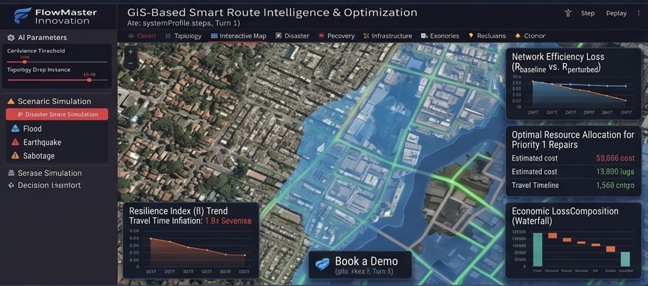
Disaster Stress Simulation
Node/edge ablation to simulate floods, blockages, and compute resilience indices.
Interactive Dashboard
Streamlit + Leaflet for real-time visualization, simulation, and decision support.
Route Resilience Features
Occlusion-Robust Segmentation
AI models trained to handle tree canopies, shadows, clouds, and urban clutter for reliable road extraction.
Topological Graph Healing (GeoHeal)
Intelligent reconnection of broken road segments using distance, angular alignment, and curvature heuristics.
Criticality Analysis
Betweenness centrality to identify high-risk intersections, bottlenecks, and gatekeeper nodes.
Disaster Stress Simulation
Simulate floods, accidents, or road closures and analyze network efficiency loss, travel time inflation, and alternative routes.
Resilience Index & Metrics
Quantitative resilience score (R) comparing baseline vs perturbed network efficiency.
Interactive Decision Dashboard
Map-based UI with heatmaps, clickable disaster simulation, and real-time analytics for non-technical stakeholders.
Core Technologies
Ingests optical, SAR, and multispectral data from global and Indian satellite missions (Cartosat, Sentinel, Landsat, Resourcesat).
Key Features
- Cartosat-3 (0.25m)
- Sentinel-1/2 (10m)
- Landsat-8/9 (15-30m)
- Resourcesat LISS-IV (5.8m)
Specifications
Resolution Range
0.25m – 30m
Update Frequency
24-72 hours
Intelligent Route Resilience Engine
Our platform combines vision, graph theory, and geospatial analytics to deliver actionable intelligence for urban mobility resilience.
Satellite Data Processing
Ingests, co-registers, and tiles optical, SAR, and multispectral imagery for AI inference.
AI Road Segmentation
DeepLabV3+/SegFormer to produce high-quality binary road masks under occlusions.
Skeletonization & Graph Generation
Converts binary masks to centerline skeletons and builds NetworkX graph of nodes and edges.
Topological Healing (GeoHeal)
Reconnects broken segments using distance, angular alignment, and curvature cost function.
Criticality & Resilience Analytics
Betweenness centrality for gatekeeper nodes; resilience index via stress testing (node/edge ablation).
Interactive Decision Dashboard
Streamlit + Leaflet dashboard with heatmaps, disaster simulation, and real-time analytics.
Technical Specifications
Applications & Target Audience
The Route Resilience Advantage
Novel Technology & Features
Occlusion-Robust Road Extraction
Specially trained to recover roads hidden under trees, shadows, and clouds.
Topological Healing (GeoHeal)
Intelligent graph healing using distance, angular, and curvature heuristics for seamless networks.
Resilience Index & Stress Testing
Quantitative resilience scoring with node/edge ablation to simulate disasters.
Visual Reference
Satellite Road Segmentation Output
Graph Healing & Criticality Heatmap
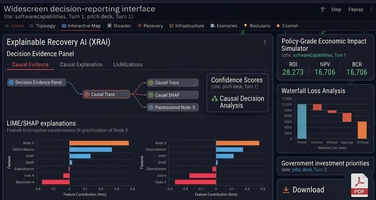
Disaster Simulation Dashboard