
AI-Based Disaster Management & Monitoring System
Predict, monitor, and respond to natural disasters with AI-powered satellite intelligence.
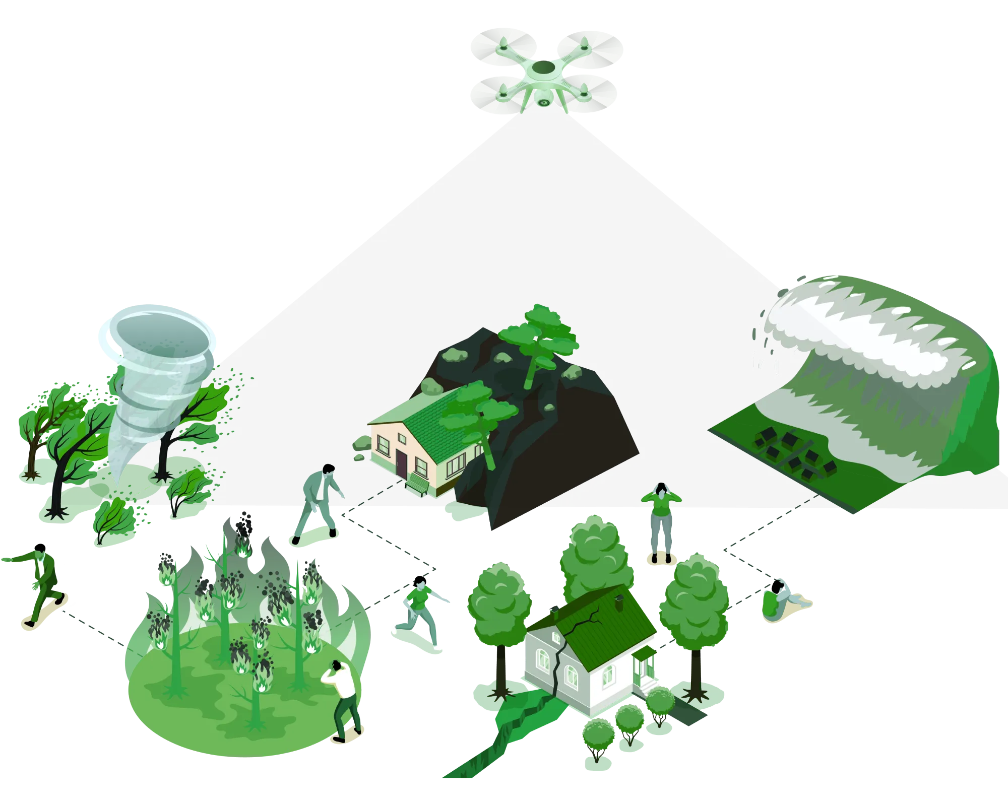
Our AI-based disaster management platform combines real-time satellite imagery, multi-source geospatial data, and advanced predictive AI to deliver comprehensive disaster monitoring and response intelligence. Covering earthquakes, floods, hurricanes, cyclones, tsunamis, landslides, wildfires, and droughts, the system provides instant location-based insights, damage assessment, institutional loss analysis, and XAI-powered explanations. Designed for government authorities, rescue teams, and emergency responders, it transforms raw satellite data into actionable life-saving intelligence.
8+
Disaster Types Covered
94%
Prediction Accuracy
< 5 min
Response Time
Global
Coverage Area
End-to-End Disaster Intelligence Pipeline
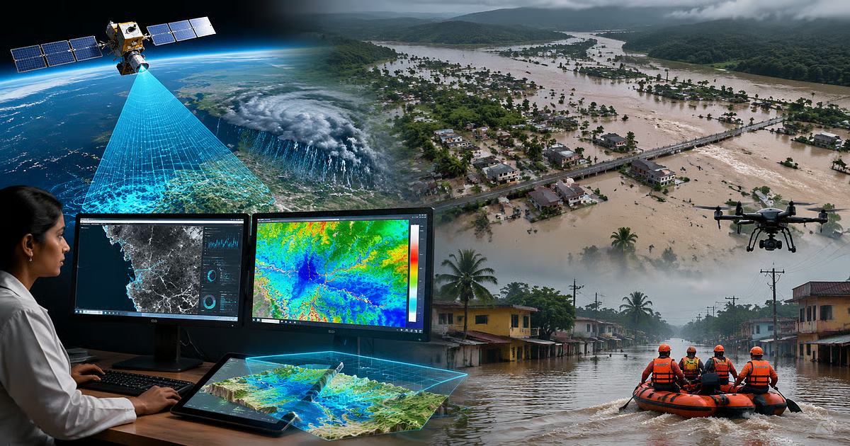
From satellite data to actionable insights — our system processes multi-source geospatial data through advanced AI to deliver real-time disaster intelligence.
Data Acquisition
Real-time satellite imagery (optical, SAR, thermal) + weather data + sensor networks
AI Disaster Analysis
Predictive models for earthquake, flood, hurricane, and multi-hazard detection
Response & XAI Dashboard
Location-based insights, damage assessment, institutional loss analysis, and XAI explanations
Disaster Intelligence Features
Real-Time Satellite Monitoring
Live satellite imagery (optical, SAR, thermal) for any location on Earth with AI-powered change detection.
AI-Powered Disaster Prediction
Advanced ML models predict earthquakes, floods, hurricanes, cyclones, tsunamis, landslides, wildfires, and droughts with 94% accuracy.
Damage Assessment & Mapping
AI-driven damage severity analysis with color-coded maps showing affected areas, infrastructure damage, and population impact.
Institutional Loss Analysis
Quantify economic losses, infrastructure damage, and disruption to government services, hospitals, schools, and supply chains.
Explainable AI (XAI) Reports
Premium feature: Understand why a disaster is predicted, what factors contributed, and recommended response actions (LIME + SHAP explanations).
Multi-Hazard Dashboard
Unified platform for all disaster types with real-time alerts, historical analysis, and predictive modeling.
Core Technologies
Seamless integration of optical, SAR, thermal, and weather satellite data from multiple global providers.
Key Features
- Sentinel-1, Sentinel-2, Landsat, MODIS
- NASA Earth Data & ESA Copernicus
- NOAA weather & climate data
- Global seismic sensor networks
Specifications
Satellite Sources
10+ Global Providers
Update Frequency
6 hours
Intelligent Disaster Intelligence Engine
Our software platform transforms raw satellite and sensor data into actionable disaster intelligence with real-time AI analysis.
Satellite Data Processing
Ingests and processes optical, SAR, thermal, and weather satellite data from 10+ global sources in real-time.
AI Disaster Prediction Engine
Predicts earthquakes, floods, hurricanes, cyclones, tsunamis, landslides, wildfires, and droughts with 94% accuracy.
Location-Based Intelligence
Search any address or coordinates to view current satellite imagery, disaster status, and historical data.
Damage Assessment & Mapping
AI-driven damage severity analysis with color-coded maps showing affected areas, infrastructure damage, and population impact.
Institutional Loss Analysis
Quantify economic losses, infrastructure damage, and disruption to government services, hospitals, schools, and supply chains.
XAI Decision Support (Premium)
LIME + SHAP explanations for every prediction. Understand the contributing factors and recommended response actions.
Technical Specifications
Applications & Target Audience
The Disaster Intelligence Advantage
Novel Technology & Features
Multi-Source Satellite Fusion
Combines optical, SAR, thermal, and weather satellite data for 360° disaster intelligence.
Real-Time AI Disaster Prediction
Predicts earthquakes, floods, hurricanes, and more with 94% accuracy — minutes before impact.
XAI Decision Support (Premium)
LIME + SHAP explanations for every prediction. Understand why — not just what.
Visual Reference
Disaster Intelligence Dashboard
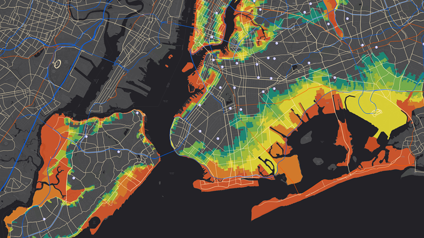
AI-Powered Damage Assessment Map
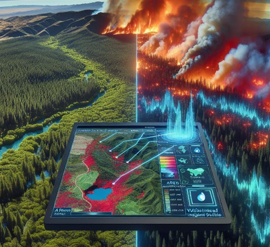
XAI Explanation & Decision Support