
AI-Powered Drone Inspection System
Autonomous defect detection for infrastructure & utilities.
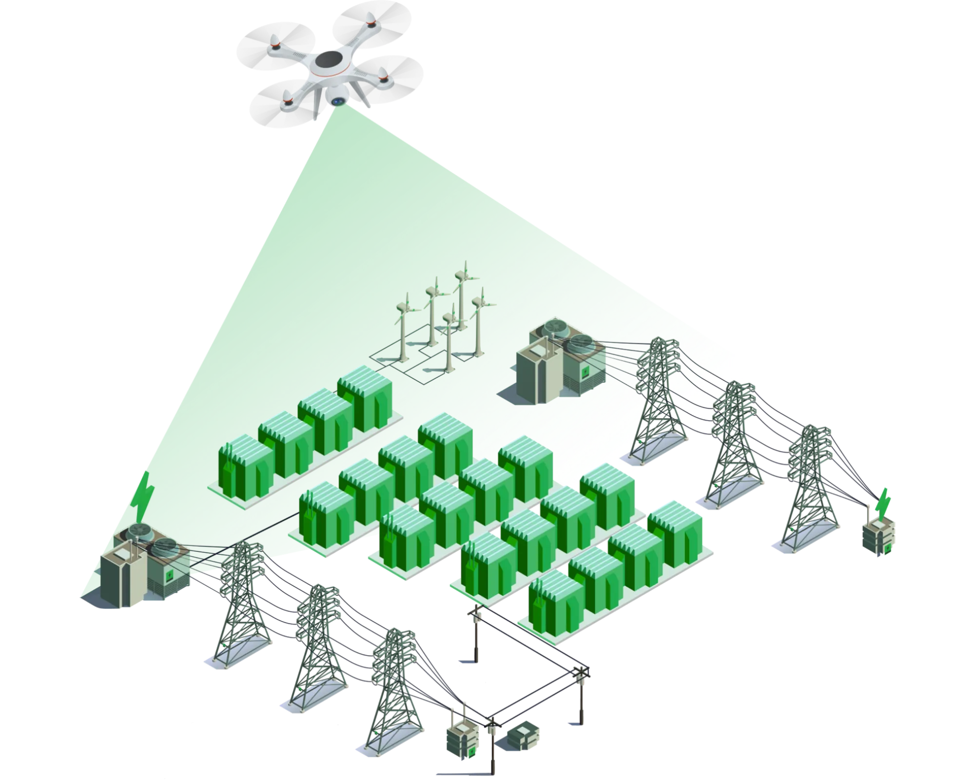
Our drone-based inspection system combines advanced computer vision, edge AI, and multi-sensor fusion to deliver real-time defect detection for critical infrastructure. Designed for transmission lines, solar farms, pipelines, and more, it reduces inspection time by up to 90% while improving accuracy to 98.7%.
98.7%
Inspection Accuracy
45 min
Flight Time
500 ms per image
Processing Speed
50 km² per day
Coverage
End-to-End AI Inspection Pipeline
From data capture to actionable insights, our system is engineered for speed and precision.
Data Capture
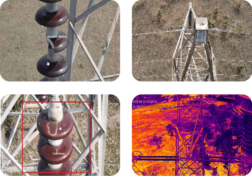
Multi-sensor drone data (RGB, Thermal, LiDAR)
Edge Processing
On-device AI for real-time anomaly detection
Cloud Analytics
Aggregated reporting and predictive maintenance
Key Platform Capabilities
Multi-Sensor Fusion
Combines RGB, thermal, and LiDAR for comprehensive inspection.
Edge AI Inference
On-device processing for low latency and offline capability.
98.7% Accuracy
Trained on diverse datasets with continuous learning.
Real-Time Alerts
Immediate flagging of defects and anomalies.
Scalable Platform
From single drone to fleet, adapts to your needs.
Secure Data
Encrypted transmission and compliance with data privacy standards.
Core Technologies
Seamless integration of RGB, thermal, and LiDAR sensors on commercial-grade drones.
Key Features
- DJI Matrice & custom platform support
- High-resolution cameras (20MP+), thermal (640x512)
- LiDAR for 3D point cloud generation
Specifications
Sensor Resolution
20MP RGB / 640x512 Thermal
Flight Time
45 minutes
Intelligent Software Engine
Our software platform transforms raw drone data into actionable intelligence with zero-latency processing.
Auto-Annotation Engine
No data scientists needed. Ground staff upload raw images – AI automatically labels them with YOLO .txt files.
Zero-Latency Live Drone Link
Real-time threat detection while the drone is airborne. Critical alerts override all other UI elements.
AABB Collision Math
Context-aware detection. If vegetation intersects a power line, the system instantly escalates it from "Safe" to "Critical".
Automated Work Order Generation
For every critical detection, a PDF work order is auto-generated with GPS location, fault classification, and SLA deadline.
Analytics Dashboard & Heatmap Engine
GIS heatmaps showing critical fault concentration. KPI tracking with precision, recall, and F1-score per detection class.
Flight Archives & Automated Folders
Every mission gets a dedicated folder structure (Date_DroneID_MissionID) with subfolders for RAW, AI_ANALYZED, and PDF outputs.
Technical Specifications
Scientific & Industrial Applications
The Flow Master Advantage
Novel Technology & Features
Multi-Modal Data Fusion
Combines visual, thermal, and LiDAR for robust detection even in challenging conditions.
Explainable AI Heatmaps
Provides visual overlays showing why a defect was flagged, building trust with operators.
Autonomous Re-Planning
Drone can automatically adjust flight path to investigate detected anomalies.
Visual Reference
Drone Inspection in Action
Thermal Imaging Analysis
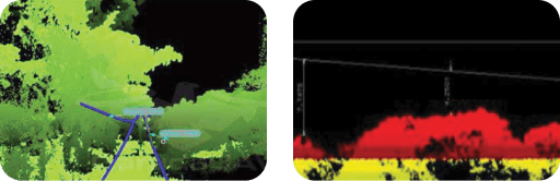
AI Defect Detection Dashboard